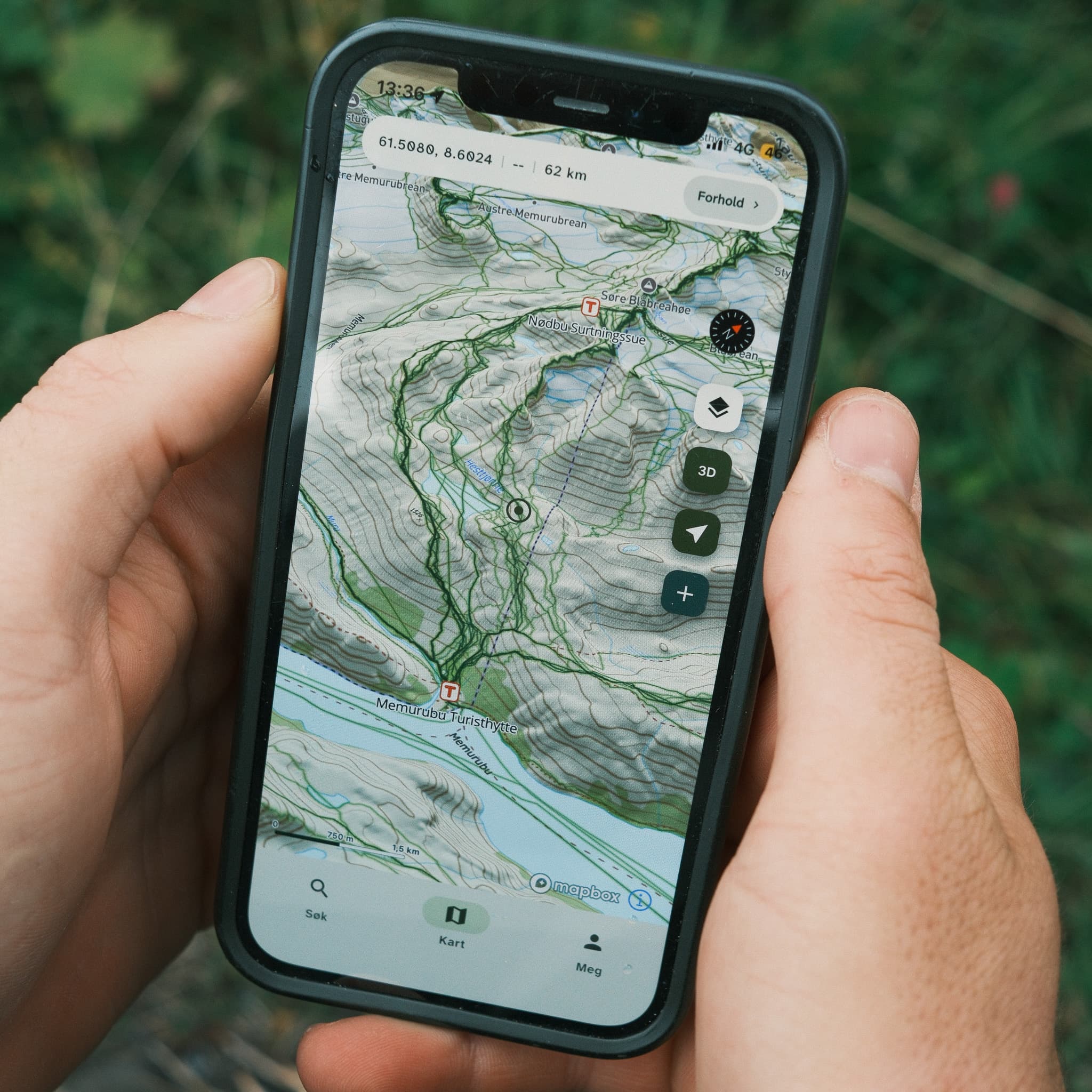
Bring maps and tools that make decisions easier along the way.
Out in the mountains, the decisions you make in the moment matter most. Villspor gives you maps and tools that make it easier to read the terrain around you and choose safer options along the way.
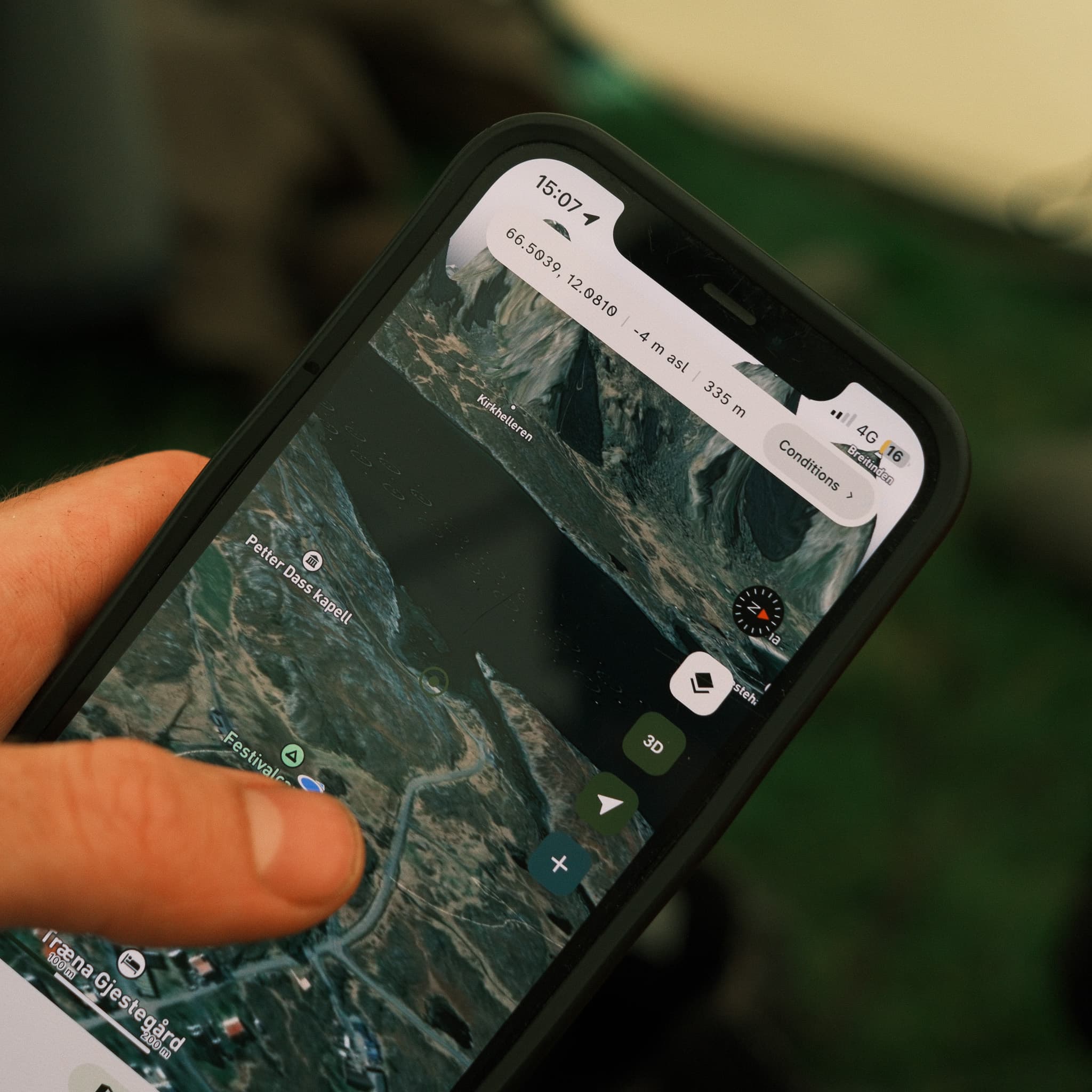
Know exactly where you are
Villspor shows the distance from your position and elevation above sea level, so you can quickly understand how far and how high you still need to go.
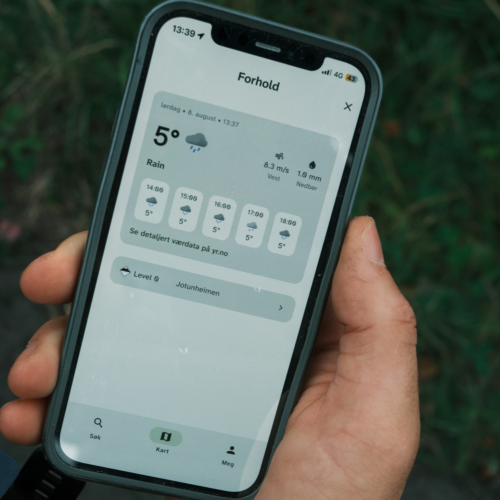
Read the terrain around you
Orientation and avalanche maps adapted to today's forecast, together with snow depth and precipitation, help you understand the conditions where you stand.
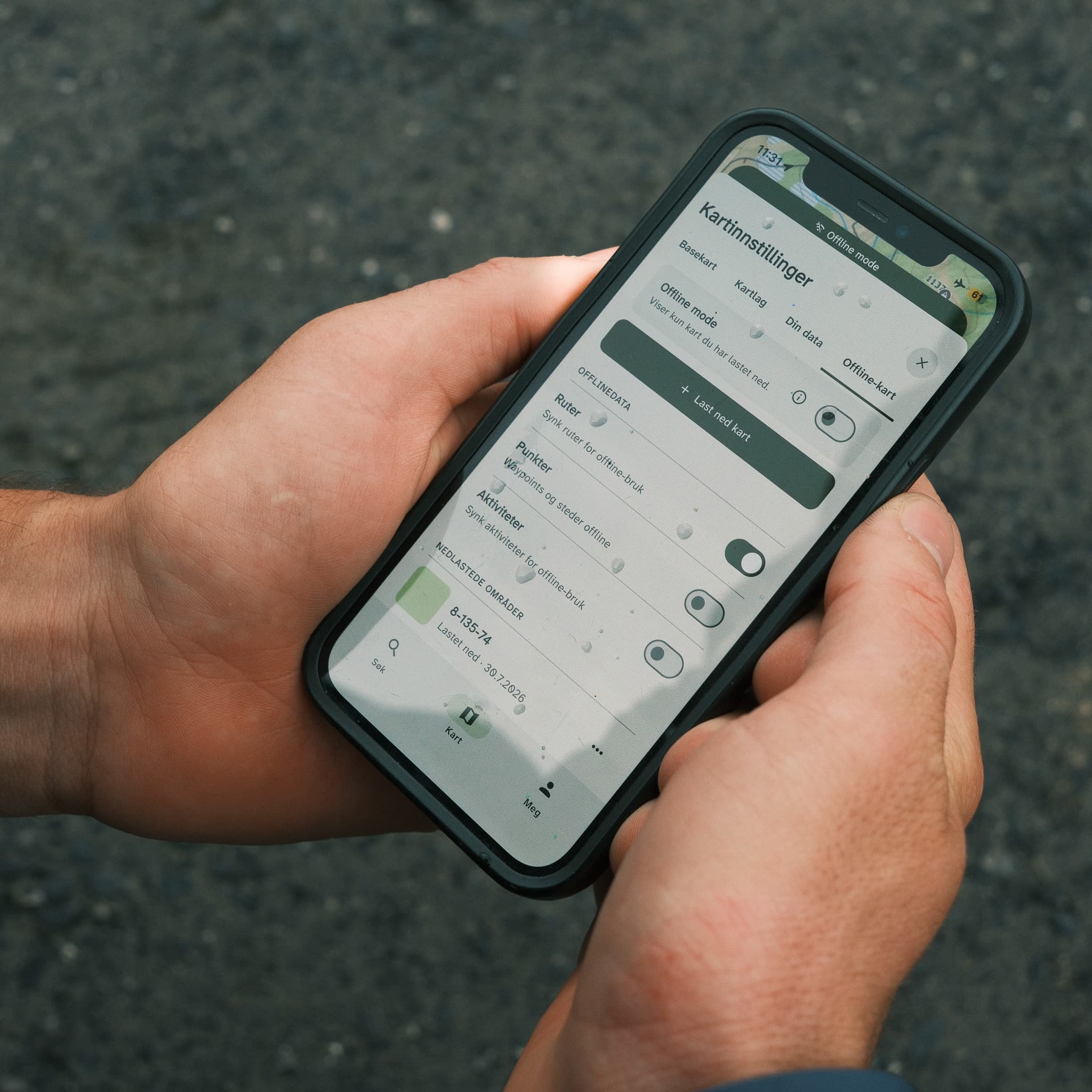
Maps that work offline
Download the areas you plan to visit so your maps remain available without an internet connection.
Map layers that support better decisions
Villspor provides map layers for hiking, hunting, skiing, and more, including trails, property boundaries, and DNT cabins.